Students at Avans University of Applied Sciences have been tasked with analysing the health of the Loonse and Drunense dunes by means of aerial imagery, such as drone and satellite imagery.
Analyzing the Loonse and Drunense dunes using remote sensing
The Loonse and Drunense dunes is a Natura 2000 site that is located near the city of ‘s-Hertogenbosch. Most of the dunes that are located across Europe have slowly disappeared due unfavourable and changing conditions. It is important that these dunes are monitored effectively so as to determine if the area of drifting sand in the dunes is increasing or decreasing.
Students at Avans University of Applied Sciences have been tasked with analysing the health of the dunes by means of aerial imagery, such as drone and satellite imagery.
The goals of this project are:
- Whether use of remote sensing provides a valuable additional monitoring strategy, including recommendations on how to best analyze satellite and/or drone pictures
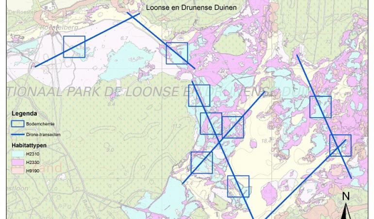
- A map with more detailed classification of the habitats in the area to include in the Atlas Natural Capital.
- A description of the possible changes in the area due to climate change.
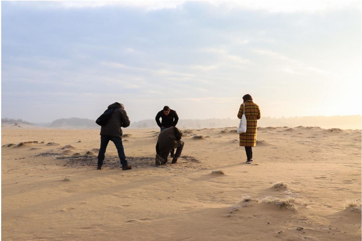
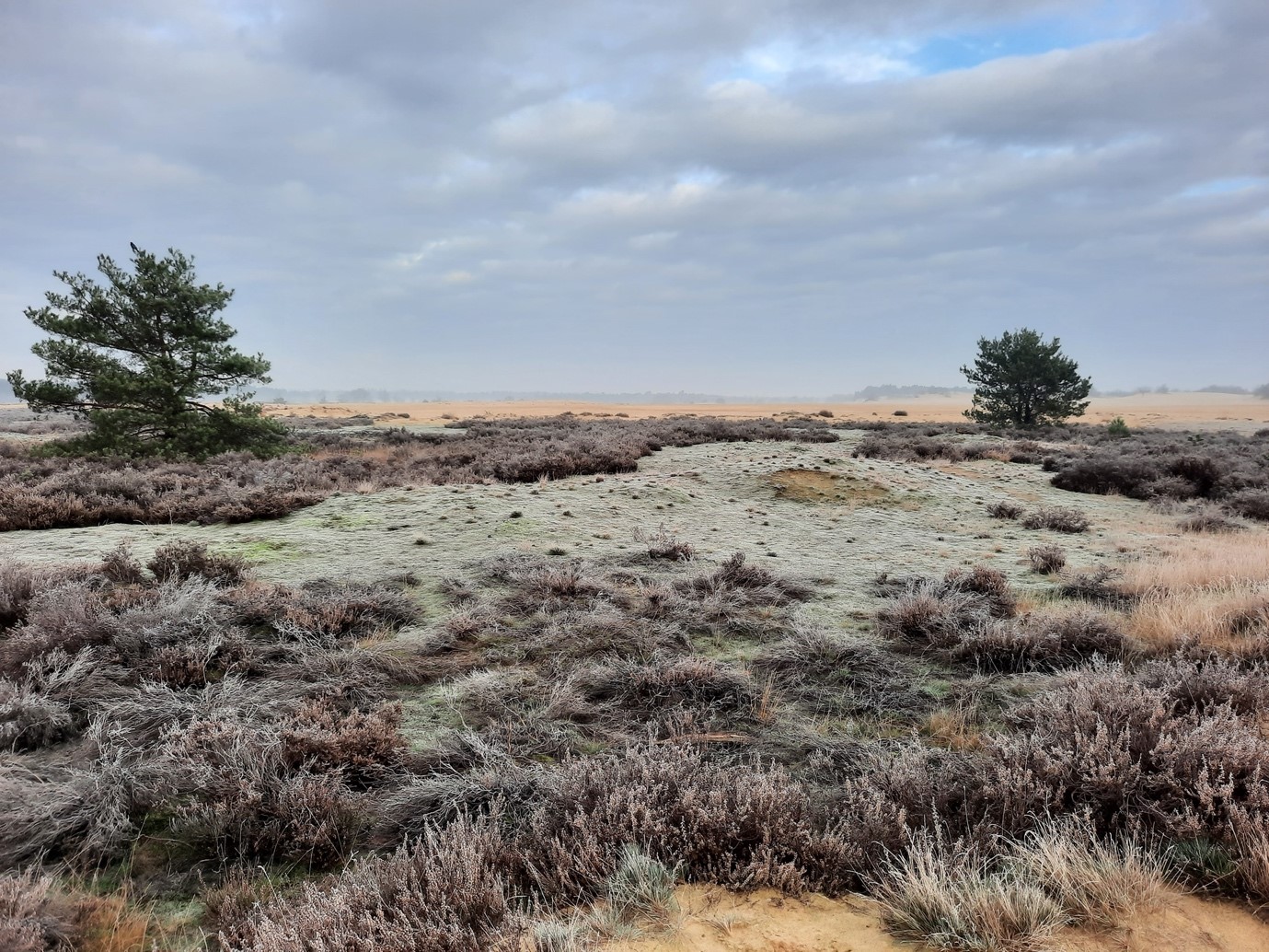
To achieve these goals, the project is broken down into 3 phases. Firstly, the data gathering phase, which looks at finding information on the topics through client meetings, a literature study and interviews with drone pilots and GIS professionals. The second phase looks at practical activities such as using GIS to analyse the drone images to classify them based of the vegetation. This will be followed up with Fieldwork where soil samples will be taken and ground truthing will be done. The soil samples will then be used to determine the pH of the soil. As well the ground truthing will be used to confirm the GIS classification that has been done. As a final product there will be maps made that visualise the dunes and the vegetation that is present and makes a comparison to previous years.
One of the groups has already visited the field and collected data. In their visit they took a few pictures where you can find below.
Keep updated with the two projects progress by clicking the below links that show the story maps.
Team 2a https://storymaps.arcgis.com/stories/0a5aaed5bb8e4d5d9b7907e2ee362b9b
Team 2b https://storymaps.arcgis.com/stories/4d4206030f2342a88f7b23d92c0fdfae